WHAT WE DO
We provide a comprehensive range of professional geospatial, surveying, and land development services tailored to the needs of government agencies, private developers, organizations, and individual clients. Our expertise spans topographic, cadastral, and engineering surveys, GIS development and management, spatial data analysis, land administration, planning, and real estate development support. By leveraging advanced technologies and industry best practices, we deliver reliable, data-driven solutions that enhance decision-making, improve project efficiency, and support sustainable and responsible development outcomes.
Our Purpose
To unite diverse geospatial and related professional disciplines in delivering high quality, efficient, and sustainable solutions that support responsible land development and informed decision making.
How We Deliver Value
We support projects from planning and data collection to implementation and monitoring. Through GIS, surveying, spatial data management, and land development services, we help clients achieve efficient, data-driven, and sustainable outcomes.
Proven Impact
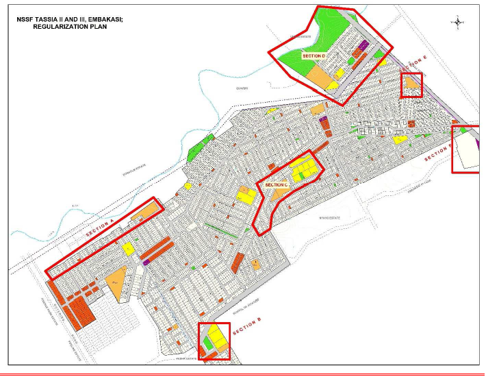
Our track record includes the successful delivery of major projects across Kenya, including the Nairobi Pipeline Phase II Regularization Project, surveys and real estate management assignments for the Kenya Revenue Authority (KRA), and land and property audits for East African Portland Cement PLC (EAPCC).
Our People
Our multidisciplinary team of planners, surveyors, geospatial specialists, and support professionals combines technical expertise, innovation, and collaboration to deliver quality results and lasting value for our clients.
Cadastral Surveying
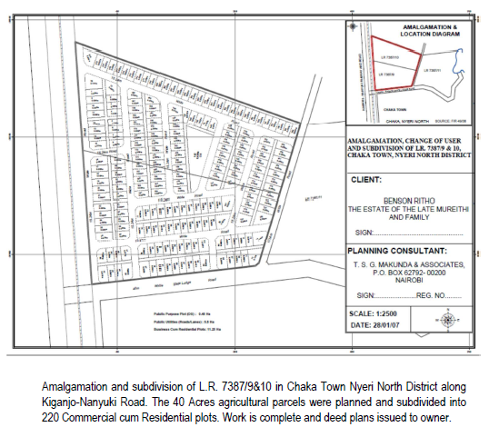
Boundary identification, subdivision surveys, amalgamations, deed plan preparation, and land registration support Read more
Geospatial Project Management
Planning, coordination, implementation, and monitoring of geospatial projects to ensure timely delivery, quality outcomes, and efficient resource utilization Read more
Topographic Survey
Maps the natural and man-made features of a piece of land, showing their horizontal positions and elevations.
Transforming Land Data into Smart Decisions
With cutting-edge technology, expert professionals, and a commitment to excellence