WHO WE ARE
Geoner Systems Ltd is a registered limited liability company in the Republic of Kenya, bringing together a team of experienced professionals in Physical Planning, Land Surveying, Remote Sensing, Geographic Information Systems (GIS), Environmental Science, and Geology. Based in Nairobi, the company provides professional geospatial consultancy services, project management, and interdisciplinary solutions tailored to the needs of both public and private sector clients.
Leveraging modern technology, technical expertise, and a multidisciplinary approach, Geoner Systems Ltd delivers innovative, accurate, and sustainable solutions in land administration, spatial planning, surveying, environmental management, and geospatial data services. The company is committed to maintaining the highest standards of professionalism, quality, and integrity while supporting informed decision-making and sustainable development.
MISSION
We are dedicated to uniting diverse professional geospatial specialties to deliver high-quality, comprehensive, and efficient professional services in support of eco-friendly land development.
Experience
Our experience is founded on the successful delivery of geospatial, surveying, planning, and real estate management projects across Kenya. Working with government agencies, private developers, organizations, and individual clients, we have built a strong track record in land administration, surveying, GIS, subdivision, titling, conveyancing, and real estate development, consistently delivering accurate, efficient, and high-quality solutions.
Technology
We leverage advanced geospatial, surveying, and data management technologies to deliver accurate, efficient, and reliable solutions. By integrating modern equipment, GIS platforms, and innovative digital tools into our workflows, we enhance data quality, improve project efficiency, and support informed decision-making for our clients.
Data Analysis
We apply advanced geospatial data management and analysis techniques to transform complex data into meaningful insights. Through accurate processing, interpretation, and visualization of spatial information, we support informed decision-making, improve project planning, and deliver value-driven solutions for our clients.
TEAM
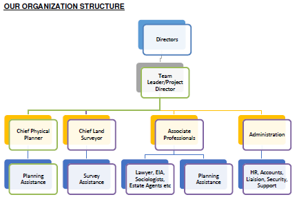
Our company is built on a strong foundation of leadership, technical expertise, and professional support services. Through a multidisciplinary approach, we bring together experienced planners, surveyors, associate professionals, and administrative personnel to deliver high-quality, efficient, and sustainable solutions to our clients.
Leadership and Project Management
We are led by a Director and supported by a Project Director who oversees project planning, coordination, supervision, and quality assurance. Together, they provide strategic leadership and ensure that all projects are delivered efficiently and to the highest professional standards.
Technical Team
The technical team consists of a Chief Physical Planner, supported by Planning Assistants, who is responsible for physical planning, land-use management, and development control. The team also includes a Chief Land Surveyor and Survey Assistants who undertake topographic, cadastral, engineering, and real estate development surveys, providing accurate and reliable technical solutions.
Associate Professionals and Administration
To deliver comprehensive services, the company collaborates with associate professionals such as lawyers, Environmental Impact Assessment (EIA) experts, sociologists, estate agents, valuers, and other specialists. These professionals are supported by an Administration Department responsible for human resources, finance and accounts, liaison services, security, and general support functions, ensuring smooth operations and effective project delivery.
CLIENTS
We proudly serve a diverse range of clients, including government agencies, county governments, private developers, engineering and construction firms, utility companies, NGOs, institutions, businesses, and individual landowners. Through our tailored geospatial, surveying, mapping, and land development solutions, we help our clients make informed decisions, manage resources effectively, and successfully deliver projects of all sizes.

East African Portland Cement PLC (EAPCC)
Comprehensive Land and Property Audit

Kenya Revenue
Authority
Land Surveying Services

Kenya Civil Aviation Authority
Cadastral Survey

Orbit Chemicals Limited
Consultancy Services for Land
Surveying and Processing of Titles

Mhasibu Housing Co. Limited
Planning, Surveying and Processing of
Titles

Rural Electrification
Authority
Route/Engineering Surveys for Rural Power Connection

Orbit ChemicalMhasibu Runda Welfare Associations Limited
Processing of Titles for each
Stakeholders of the Mhasibu Runda Plot

Rural Electrification
Authority
Route/Engineering Surveys for Rural Power Connection
FEATURED WORK

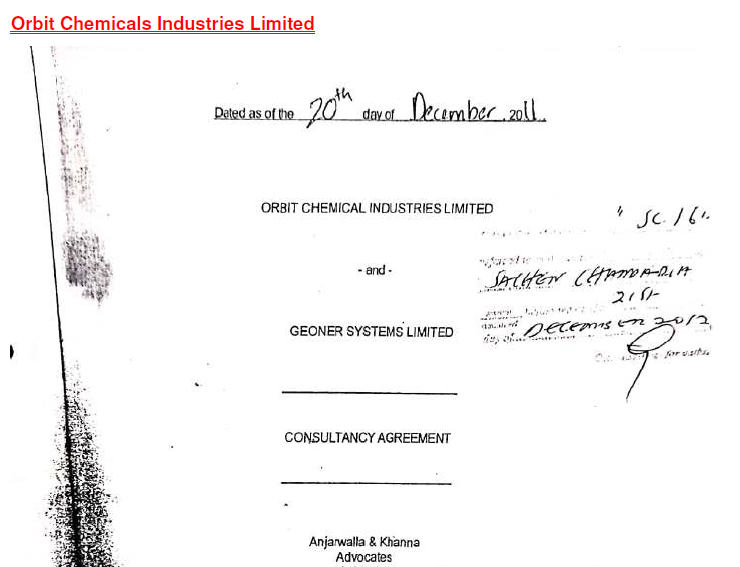
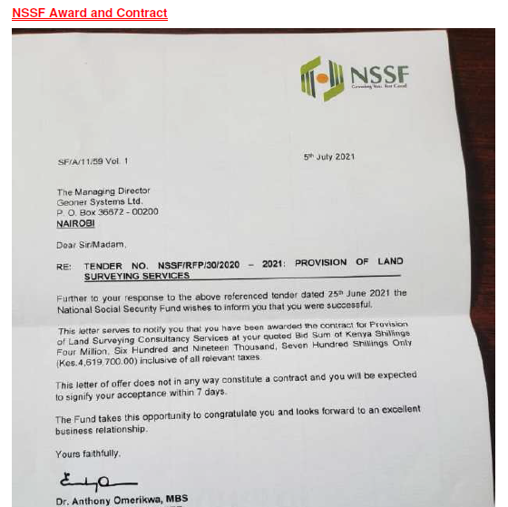
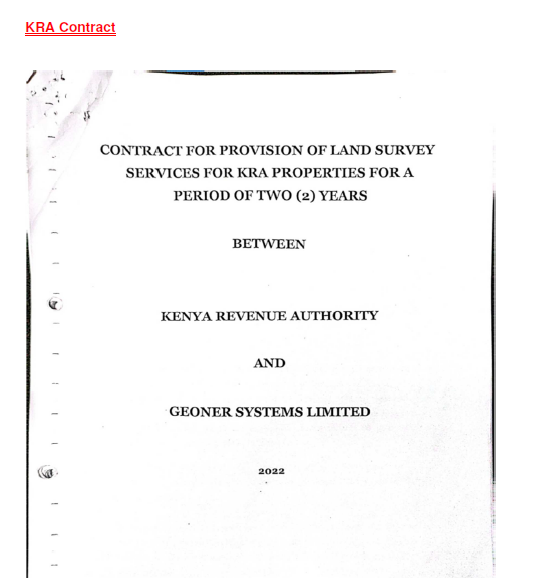


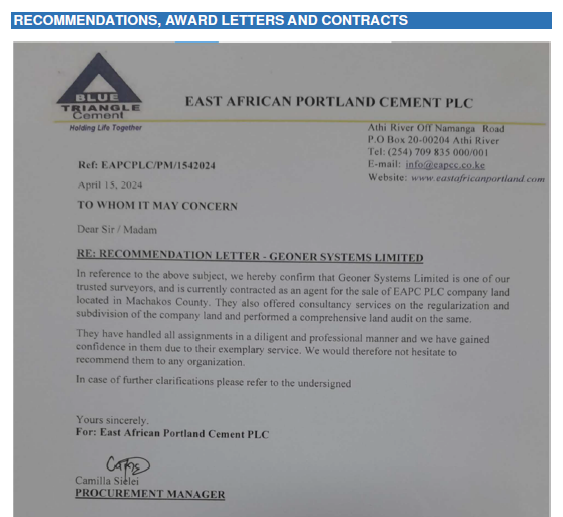
The successful completion of numerous projects stands as a testament to our capability, professionalism, and commitment to delivering exceptional outcomes.
Copyright 2026 – Geoner Systems Ltd